Book Review: Revolution: Mapping the Road to American Independence 1755-1783 by Paul E. Cohen and Richard H. Brown (W. Norton & Company, 2015)
Maps are an essential component to the study of history. While modern maps are useful, it’s also insightful to look at the maps that were available when historic events occurred. Not only do these show us the topography as it existed at the time, but often also tell us what information was and was not available and what geographic features were considered important – at least to the mapmakers, and often to those using the maps as well. Since maps were not mass-produced during era of the American Revolution, it can be challenging to gain access to the limited number of manuscript maps available. A book of original maps depicting important aspects of the Revolution, then, is a very welcome addition to the literature.
Several collections of maps depicting campaigns of the Revolutionary War have been published, but this new offering compiled by Paul E. Cohen and Richard H. Brown differs from others in two important ways. Rather than focusing solely on the years of the American Revolution, it begins with maps and text concerning some critical aspects of the French and Indian War that laid the groundwork for the subsequent political events that led to revolution. Also, it includes a number of maps from private collections that have never been published before. As such, it is a truly unique volume that is sure to offer something new to every reader.
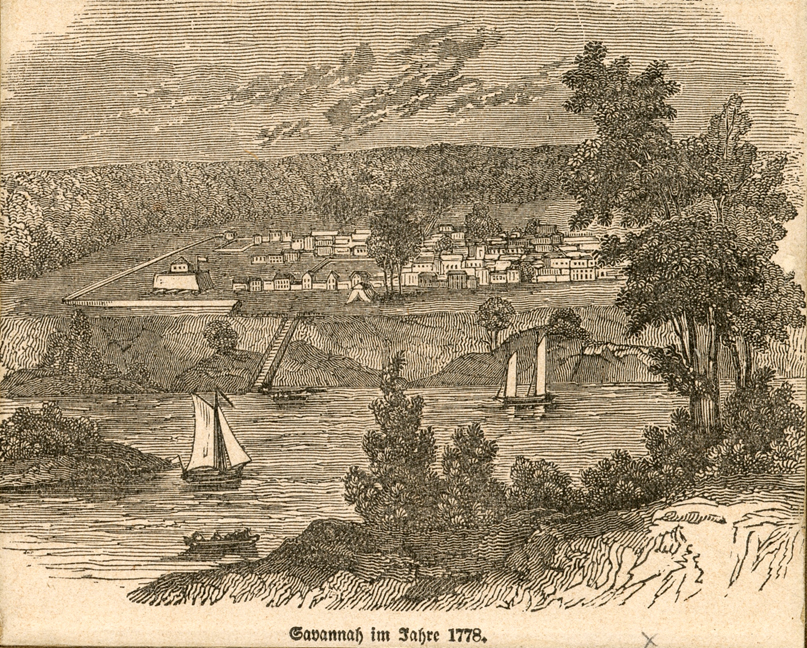
The maps, over sixty of them, are well chosen not just for the locations and events that they depict but for the elegant draftsmanship that they showcase. Rendered in full color, we see the skill of the engineers and cartographers who surveyed and rendered topographic features. Many of the maps include representations of troop movements, with individual regiments and sometimes companies carefully annotated. We are able to see the details that were considered militarily important in the cities and landscapes where campaigns occurred, and get a sense of the geographic considerations that leaders on both sides took into account during planning and operations. Complementing the full maps are a number of detailed illustrations, some showing the fine ornaments included in the legends, as well as landscape views drawn by military personnel. The only regret is that it is impossible for these beautiful documents to be reproduced in their original size, as many of the manuscript maps are quite large.
Putting the images in context is a generous amount of text, more than in most works of this genre, that not only describe the individual maps but also the background and aftermath of the events and situations that they portray. Summarizing major campaigns and years of political developments in a few pages is one of the greatest challenges that historical writers face, running the constant risk of over-generalizing and over-simplifying. The authors handle the task well, offering concise, accurate narrative that reads quickly and provides sufficient detail without getting bogged down in minutia. The information is conventional, but the purpose is to showcase the maps rather than to present new interpretations.
A generous bibliography shows the authors’ discernment in supporting their work with credible source material. But it is the images of the maps that makes this a beautiful volume. Drawn from European repositories including the British Library and Alnwick Castle, and American institutions including the Boston Public Library, the American Antiquarian Society and the William L. Clements Library, to name a few, they are delightful to behold. For both casual readers and experienced researchers, Revolution: Mapping the Road to American Independence is as fine a compilation of cartographic material as any available today.


4 Comments
This one looks like a winner, I’m going to grab a copy. I will be particularly interested to learn who had access to these maps, and when, if such information is available.
I’ve already got this on pre-order, as research material for future books.
Looks like a superb resource for any scholar of the Revolution, while remaining accessible tot he layman.
Great timing for the book. In researching and writing, I am forever looking for a map of the area I’m writing about to put myself “there”.
Solid review for a very useful book. Thank you!
For anyone wanting to step it up a little and who has around $300,000 to $500,000 available, on December 8 Swann Auction Galleries will be auctioning off “THE RAREST AND MOST IMPORTANT ATLAS TREATING EVENTS OF THE AMERICAN REVOLUTION”: http://catalogue.swanngalleries.com/asp/fullCatalogue.asp?salelot=2401++++++58+&refno=++708059&saletype=